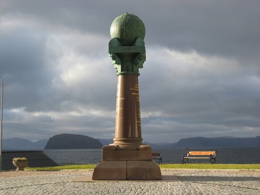
struve geodetic arc
states: [belarus] [estonia] [finland] [latvia] [lithuania] [norway] [moldova] [russia] [sweden] [ukraine]
category: cultural
year: 2005
region: Europe and North America
latitude/longitude: 59.0577777778, 26.3377777777

The Struve Geodetic Arc, a UNESCO World Heritage site in Europe, recognized in 2005, is a network of 34 survey points across 10 countries—Belarus, Estonia, Finland, Latvia, Lithuania, Norway, Moldova, Russia, Sweden, and Ukraine—established by astronomer Friedrich Georg Wilhelm Struve between 1816 and 1855. Stretching over 2,820 kilometers, these markers measured the Earth’s meridian arc, advancing geodesy and mapping precision. This transnational site reflects Europe’s scientific heritage, showcasing a monumental 19th-century effort to understand the planet’s shape and size.
Copyright © 1992 - 2025 UNESCO/World Heritage Centre. All rights reserved.