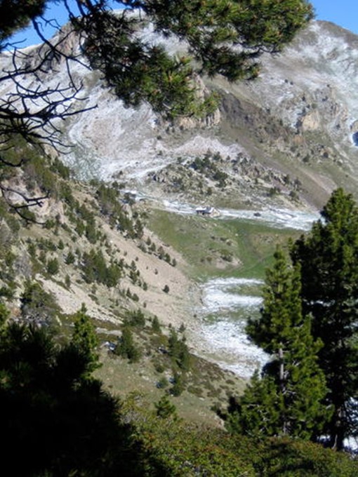
madriu perafita claror valley
states: [andorra]
category: cultural
year: 2004
location: Part of Communes of Encamp, Andorra la Vella, Saint Julia de Loria and Escaldes-Engordany
region: Europe and North America
latitude/longitude: 42.4947222200, 1.5955555560

Madriu-Perafita-Claror Valley, a UNESCO World Heritage site in Andorra, recognized in 2004, is a pristine Pyrenean valley preserving a medieval cultural landscape of pastoral life. Featuring stone huts, terraced fields, and trails amid rugged peaks and glacial lakes, it reflects centuries of sustainable agro-pastoral traditions. This isolated site showcases Andorra’s historical heritage, offering a rare glimpse into a pre-industrial alpine way of life untouched by modern development.
Copyright © 1992 - 2025 UNESCO/World Heritage Centre. All rights reserved.
